AFTER A DRY & WARM MONDAY, ACTIVE WEATHER PATTERN BRINGS PLENTY OF SNOW SHOWERS & COOLER TEMPERATURES


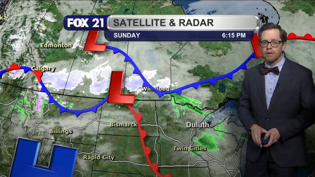
After we saw a couple days of freezing drizzle and fog, it was a nice change of pace for the Northland’s weather conditions this past weekend. A high-pressure system helped to bring plenty of sunshine and warmer temperatures. Highs Sunday reached the upper 40s and 50s with some sunshine to start the first day under Daylight Saving Time. There is a storm system passing just to our north, which will bring a chance for some scattered rain showers in the Rainy River Basin and Boundary Waters regions Sunday night. The rest of the area is dry under mostly cloudy skies with lows in the 30s. Monday will be dry during the daytime with some sunshine at times. As a breeze calm, temperatures will be in the 40s for highs. This will be the warmest it gets this week.
The jet stream will be setting up on top of the Northland the rest of the week, meaning an active weather pattern takes hold. This includes a flow of moisture from the Pacific Northwest bringing snow shower chances Tuesday morning, as well as Tuesday evening and overnight. The highest snowfall totals will be along the South Shore at 3 to 6 inches. After a break Wednesday, more storm systems will be passing through the region Thursday and the weekend. Expect all the precipitation to be snow showers as temperatures cool to the 30s for highs. We may not even get above freezing by the end of the weekend.
Chief Meteorologist Rusty Mehlberg
Maps & Radar


Viewer Photos
Post updated